
Our Partners
Data Transfer Solutions, LLC
Data Transfer Solutions maintains a Joint Staffing Agreement with GeoOrbis Inc. and the two companies are comprised of staff formerly known as Space Imaging-Orlando. Our staff has extensive experience in GIS strategic planning, GIS implementation planning, GIS applications, Asset Management, data and programming analysis, computer programming and web application & design.
Contact us for more information about Data Transfer Solutions.
MAXAR (Formerly DigitalGlobe)
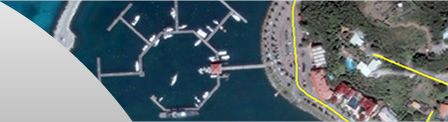
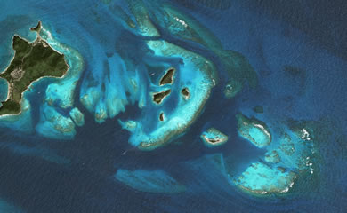
Maxar serves the most discriminating and innovative customers on the planet. We deliver breakthrough technology and insights to unlock infinite possibilities for a better world. The promise of space is to ensure everyone on the planet has access to the technology and information that makes the world a better place. At Maxar, we are committed to creating the connections and intelligence For A Better World. GeoOrbis is the Caribbean Distributor for MAXAR products and services.
Contact us for more information about MAXAR.
ESRI Business Partner
GeoOrbis has been registered with ESRI's BPP Framework for Distributors and is a business partner of Spatial Innovision Limited, which is the exclusive ESRI Distributor to the English-speaking Caribbean, spanning from the Bahamas to Guyana.
Contact us for more information about ESRI GIS software.
Hart, Hutchinson and Field (HHF Inc.)
HHF Inc. is a Barbados registered firm founded in 1991 which engages in Nearshore Hydrographic and Land Surveying projects using both GPS and ground survey methods. The firm has worked in many of the Caribbean islands directly and also as sub-contractors to large, reputable engineering and design companies. HHF's expertise complements GeoOrbis projects in the fields of base mapping, imagery orthorectification, ground control coordinate transformation and others.
Trimble
Trimble is a leading provider of advanced location-based solutions that maximize productivity and enhance profitability. The Company integrates its positioning expertise in GPS, laser, optical and inertial technologies with application software, wireless communications, and services to provide complete commercial solutions. Trimble serves a variety of industries including agriculture, engineering and construction, transportation and wireless communications infrastructure. GeoOrbis is a Trimble reseller.
VUEWorks®
VUEWorks Inc. is a company dedicated to providing affordable, flexible Enterprise Work and Asset Management Systems. Their software was designed for use by State and Local governments, utilities, corporations, schools, theme parks, and other organizations that need to track the condition, minimize failure risk, and optimize expenditures and service delivery of their physical assets.